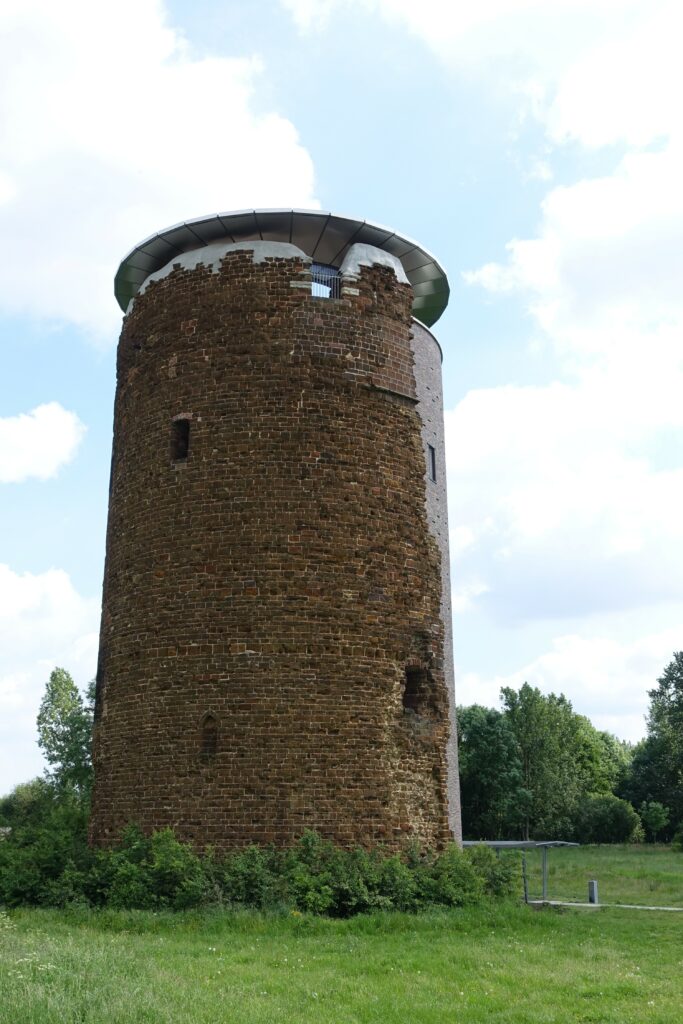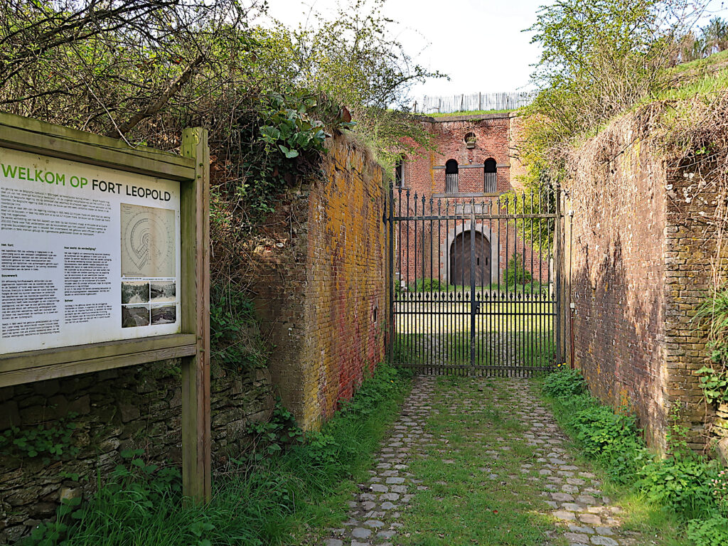
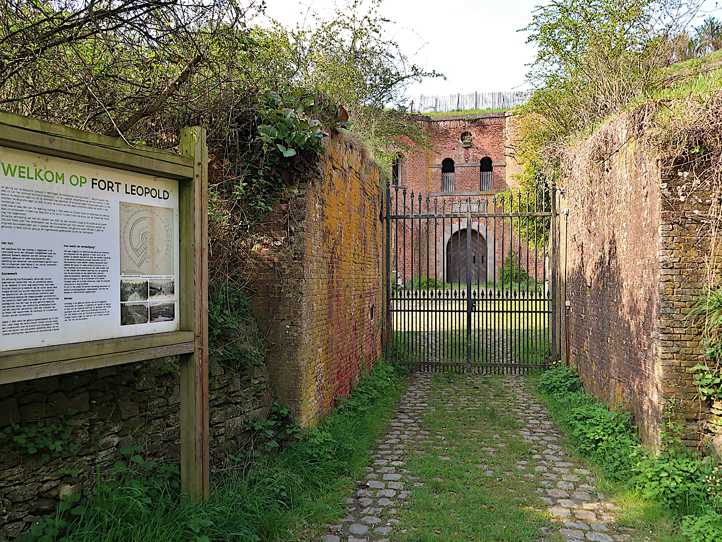
Leopold Fort is a fortress located in Molenstede, just north of the Belgian city of Diest and a short walk from the train station. This fortification was part of the 19th-century defensive works and reflects Diest’s former importance as a fortified city.
Galerie photos
Eebie, CC BY-SA 4.0, via Wikimedia Commons
History
It was built in 1845 following Belgium’s independence from the Dutch government. Leopold Fort is an advanced, autonomous fortification located in front of the northern section of the main defensive line, between the roads leading to Turnhout and Beringen. Nestled into the southern slope of the Lazarijberg hill, it is almost invisible from ground level due to its earth embankments and ramparts. Its purpose was to prevent the city from being bombarded from this elevated position and to protect the northern front of the city against a potential enemy attack.
The fortress has a concentric ground plan, with a central keep measuring 26 meters in diameter. Surrounding it lies a large main curtain wall about 120 meters long. The curtain wall could accommodate 24 cannons. Between the keep and the main curtain wall is a dry moat five meters wide. The main curtain wall forms three-quarters of a circle, with only the rear section, facing Diest, featuring two buildings arranged at right angles. These buildings housed cannons ready to fire on advancing enemies. The entire complex is protected by an outer moat 11.5 meters wide. Both moats could be targeted by the fort’s occupants.
Around 1900, the strategic importance of the fort began to decline. During both World Wars, it was used by the German occupiers. After 1944, it became part of the domain of the Belgian army’s airborne troops in Schaffen. Later on, it became the property of Natuurpunt.